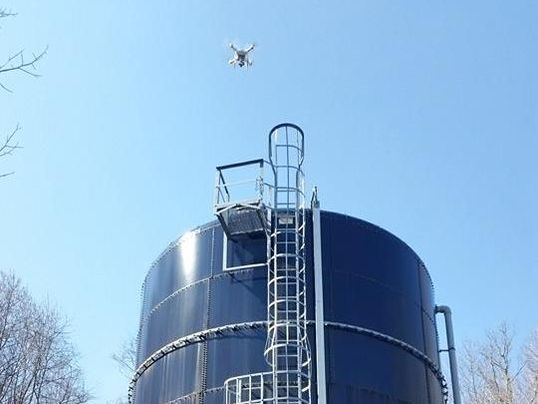
Drone It! - Inspections
|
Better data, in dramatically less time
Whether we are inspecting a new building or investigating an old one, it’s important to capture accurate data quickly. Droning it is a powerful new tool for inspection — allowing us to safely and easily capture a high-resolution aerial view of a site in minutes. |
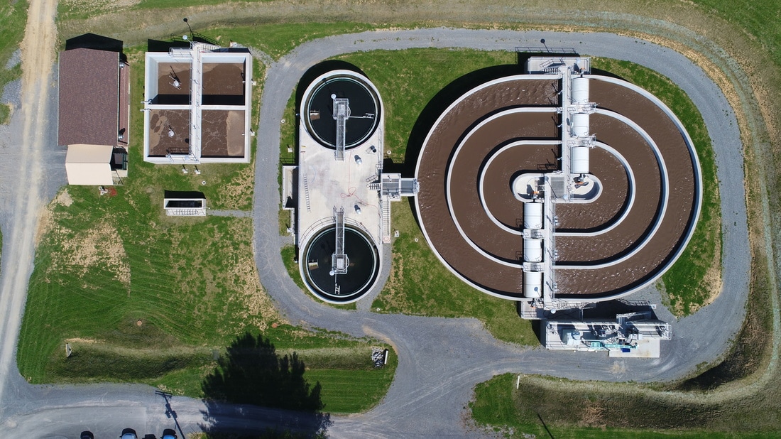
Drone It! - Mining & Aggregate
|
Powerful aerial data for your mine
Our drone and the powerful aerial data it provides are bringing cost and time-saving innovations to a variety of mining processes. Professional-quality maps and 3D models empower you to instantly calculate aggregate volumes, keep track of equipment locations and monitor safety environmental compliance. |
|
For More Info, Click Here
Drone It! - Architectural Photography
|
Archiving a special appreciation with aerial data
Architectural photography requires a certain sensitivity. Having a photograph of a building's or site's place in history can be a valuable asset to the community in the future. |
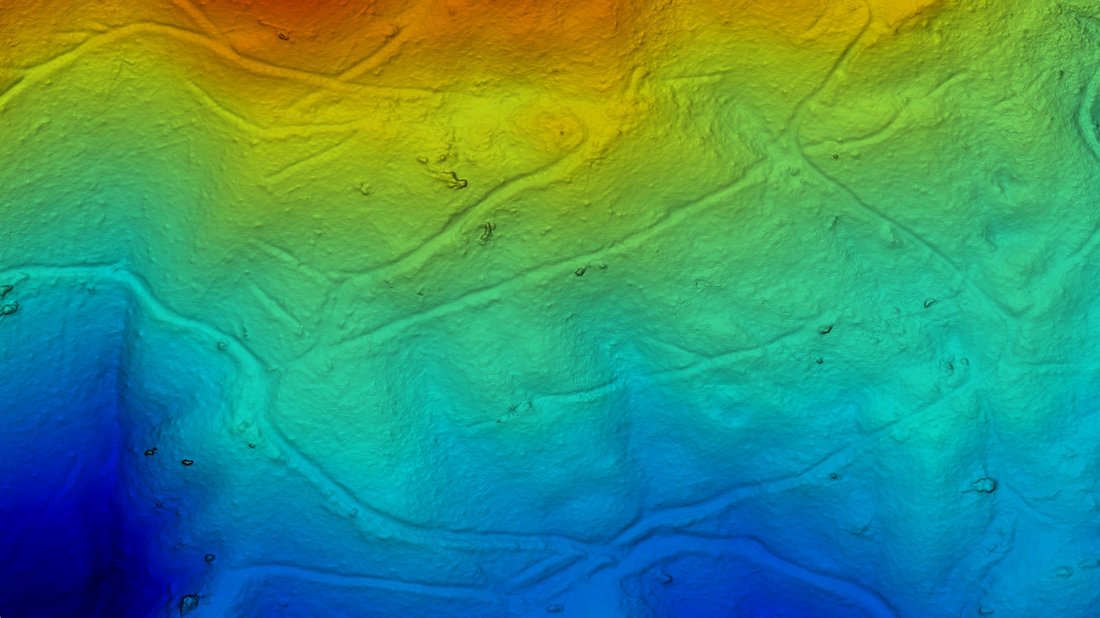
Drone It! - Environmental
|
Monitoring our world with aerial data
Drones suit a wide range of environmental protection and conservation applications— animal counting to erosion monitoring—offering scientists and researchers access to quick, easy and cost-effective aerial imagery, on demand. Pictured at the right; utilizing color variation to depict elevation changes and vegetation. |
|